همگام با فناوریهای نوین، دانش بومی و استانداردهای جهانی
مطالعه، طراحی و نظارت بر بهرهبرداری
مهندسی پایدار آینده سبز
ایجاد زیرساختهای ایمن، پایدار و هوشمند
ارائه خدمات جامع و تخصصی در زمینه مهندسی، مشاوره و اجرا
مطالعه، طراحی و نظارت بر بهرهبرداری
مهندسی پایدار، آینده سبز
فناوری، دانش، نگاه به آینده
همگام با فناوریهای نوین، دانش بومی و استانداردهای جهانی
مطالعه، طراحی و نظارت بر بهرهبرداری
شرکت مهندسی مشاور مهاب قدس، باهدف ارتقای دانش فنی و بومیسازی فناوریهای پیشرفته و بینیازسازی کشور از حضور کارشناسان خارجی در پروژههای بزرگ حوزه آب و انرژی، فعالیت خود را در شهریورماه سال 1362 آغاز کرد. مهاب با بیش از 6 دهه فعالیت ملی و بینالمللی در صنعت مهندسی و با تکیه بر ساختار مدیریتی منسجم، سلامت کاری، سرمایه انسانی متخصص و بهرهگیری از فناوریهای نوین، تلاش میکند تا با بهرهبرداری از آخرین دستاوردهای علمی و فنی و استفاده از استانداردهای جهانی، پروژههایی با کیفیت بالا و مطابق با الزامات زیستمحیطی و اجتماعی ارائه دهد.
چشمانداز
مهاب قدس در افق ۱۴۱۰، شرکتی پیشرو، خلاق و بینالمللی در حوزه خدمات مهندسی مشاور پروژههای زیرساختی آب و انرژی خواهد بود؛ شرکتی که با اتکا به سرمایه انسانی نخبه، بهرهگیری از فناوریهای نوین و پایبندی به اصول توسعه پایدار، بهعنوان مشاور برتر ملی و برند قابل اعتماد در سطح منطقه و جهان شناخته میشود.
مأموریت
ارائه خدمات مهندسی مشاور در طراحی، نظارت و مدیریت پروژههای عمرانی در حوزه آب، انرژی، محیط زیست و حملونقل، با تکیه بر تخصص و تجربه ۴۰ ساله، بهکارگیری فناوریهای روز، رعایت استانداردهای جهانی و تعهد به توسعه پایدار، برای خلق ارزش برای کارفرمایان، ارتقای کیفیت زندگی جوامع، و حفاظت از منابع طبیعی کشور
ارزشها
توسعه پایدار، کیفیت، مسئولیتپذیری اجتماعی، شفافیت و پاسخگویی
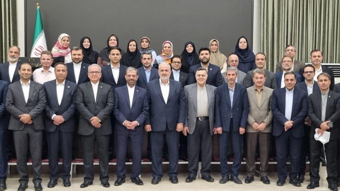
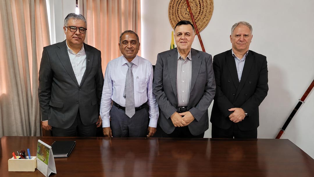
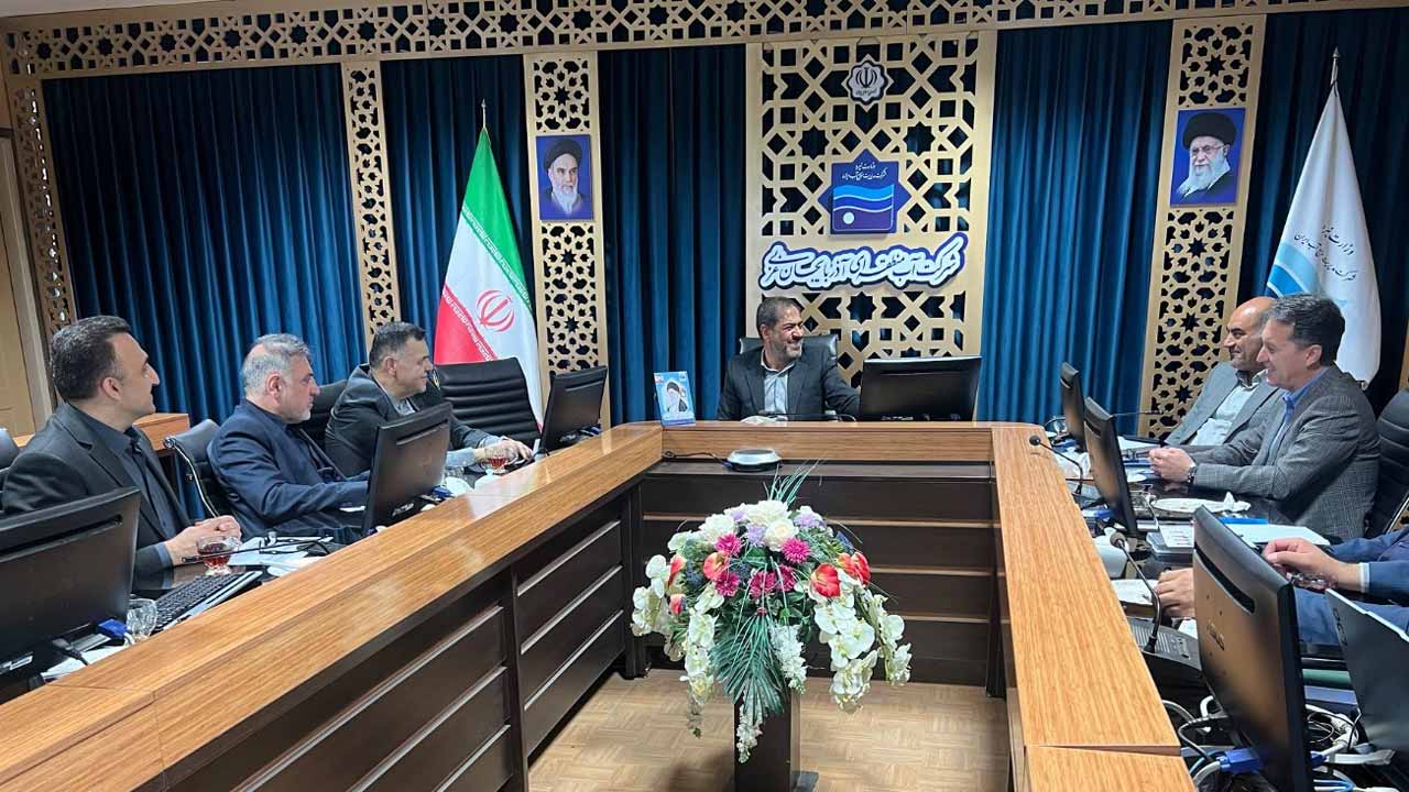
شرکت مهندسی مشاور مهاب قدس با داشتن بیش از 6 دهه تجربه در زمینه پروژههای منابع آب، فاضلاب، محیطزیست و زیرساختها در سطح ملی، در سطح بینالمللی نیز فعالیت میکند و با بهرهگیری از دانش فنی و مهندسی، در پروژههای مهم و کلیدی کشورهای مختلف حضور داشته و تأثیرات مثبتی بر بهبود زیرساختهای مهندسی گذاشته است. مهاب قدس با بیش از 30 شرکت معتبر جهانی همکاری دارد و با مشاوران فنی از ۳۵ کشور مختلف تفاهمنامه امضا کرده است. شرکت مهندسی مشاور مهاب قدس، هماکنون در فهرست منتخب کارفرمایان بینالمللی در ۳۲ کشور جهان قرار دارد و در ۱۷ کشور دارای پروژههای انجامیافته و جاری است. حضور موفق مهاب قدس در پروژههای شاخص ایران، خاورمیانه، آسیای مرکزی، آفریقا، گواهی است بر جایگاه ویژه این شرکت در عرصه صدور خدمات فنی و مهندسی و نمایانگر ظرفیت بالای مهندسی ایرانی در مقیاس جهانی.