Salaleh
location
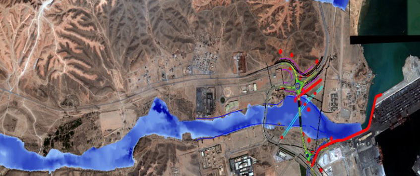
The project area includes the whole Adawnib, Annar, and other small wadi catchments contributing floods towards Salalah Free Zone starting from the mountains in the upper catchments plain area till the Sea. Adawnib Wadi catchment is one of the largest Wadis in the area and covers approximately 339.3 km2.Adawnib Dams (A1b & A3a)
| Dam Type | Two Earthfill Dams with Asphaltic Core |
|---|---|
| Dam Crest Level (masl) | 165 – 116 |
| Dam Crest Width (m) | 6 (Each One) |
| Dam Crest Length (m) | 386 – 403 |
Annar Dam
| Dam Type | Earthfill with Asphaltic or Plastic Concrete Core |
|---|---|
| Dam Crest Level (masl) | 53 |
| Dam Crest Width (m) | 6 (Each One) |
| Dam Crest Length (m) | 1680 |
Qaftout Dams (Ql2 & QR3)
| Dam Type | Earthfill with Asphaltic or Plastic Concrete Core |
|---|---|
| Dam Crest Level (masl) | 132 – 162 |
| Dam Crest Width (m) | 6 (Each One) |
| Dam Crest Length (m) | 772 - 294 |
Objectives
The main objective of the project is to provide a greater degree of protection to the industries and inhabitant areas located mainly downstream of Wadis till the sea against severe cyclonic events. These tropical cyclones can lead to severe flooding, resulting in the loss of life and damage to the properties and the infrastructure of different establishments in the area.
Characteristics
Design of hydraulic structures such as dams and other related civil works to reduce the risk of flood in the affected part of the catchments and as such, would be beneficial to protect the area from flood risk and to enhance groundwater recharge. Other development options if required, like channel training protection works will also be considered